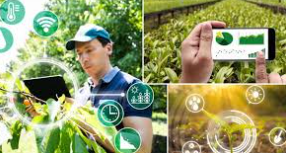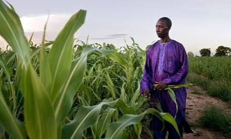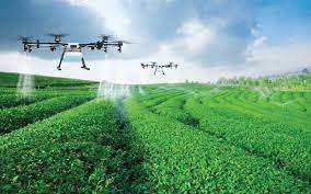
Researchers have proposed an innovative approach to plantation management using drone-based imaging for automatic monitoring of crop health. The technology, aimed at small and medium-scale farmers in developing countries, promises a cost-effective and efficient way to assess plant conditions, detect diseases early, and optimize farm management practices.
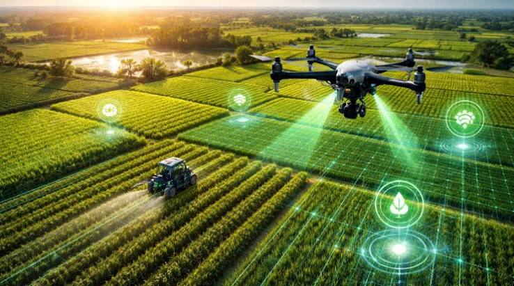
By capturing high-resolution aerial images, drones can identify variations in plant growth, signs of nutrient deficiencies, pest infestations, and water stress. These images are then analyzed using advanced algorithms to provide actionable insights, enabling farmers to take timely corrective measures. This approach reduces reliance on manual inspections, which are often time-consuming and less precise.
Experts note that drone-based monitoring can be particularly beneficial for small farmers who may lack access to traditional agricultural advisory services or expensive monitoring equipment. “This technology allows farmers to manage plantations more efficiently, save costs, and improve yields,” said an agricultural technology researcher. “It bridges the gap between advanced farming techniques and resource-constrained farmers.”
Beyond crop health assessment, the data collected from drones can help in planning irrigation, fertilizer application, and harvesting schedules. By providing a comprehensive view of plantation conditions, the technology supports data-driven decision-making that enhances productivity and sustainability.
Pilot projects in several regions have demonstrated the potential of drone-based monitoring to reduce crop losses and improve farm profitability. Researchers are working on making the system more accessible through user-friendly software and affordable drone models, ensuring that smallholders can benefit from the technology without significant upfront investments.
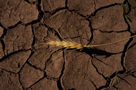
As agriculture faces challenges from climate change, pest outbreaks, and resource limitations, innovations like drone-assisted plantation monitoring offer a practical solution for increasing efficiency and sustainability in farming. By combining aerial imaging with advanced analytics, this approach could revolutionize how plantations are managed, particularly in developing countries where small-scale farming is prevalent.
 By
By