In a major step toward modernizing agriculture, the Government of Bihar is set to implement digital soil mapping across the state to promote precision farming, enhance crop yields, and ensure the judicious use of fertilizers and water.
This progressive initiative will utilize GPS-based survey tools, remote sensing, and real-time data analytics to generate high-resolution soil health maps. The project is being spearheaded by the Department of Agriculture, Bihar in collaboration with agricultural universities, Krishi Vigyan Kendras (KVKs), and agri-tech startups.
What Is Digital Soil Mapping?
Digital soil mapping involves the collection and analysis of soil samples using geospatial and sensor technologies, which are then processed to produce detailed maps showing soil fertility, pH levels, organic carbon content, micronutrients, and moisture retention capacity. These maps will be made available to farmers through mobile apps and village-level advisory centers.
Benefits for Farmers:
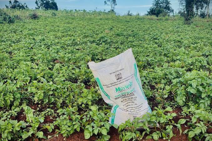
- Targeted Fertilizer Use: Farmers will receive crop-specific fertilizer recommendations based on real soil data, reducing costs and preventing overuse of chemicals.
- Improved Crop Planning: With insights into soil suitability, farmers can choose the right crops for their land, improving overall productivity.
- Water Conservation: Soil moisture data will help design efficient irrigation strategies, reducing water wastage.
- Better Yields & Incomes: Pilot projects in Nalanda and Muzaffarpur districts have already shown yield increases of up to 25%.
Government’s Vision
Speaking about the initiative, Bihar’s Agriculture Minister said, “Our goal is to empower every farmer with accurate, location-specific soil information to make scientific decisions. Digital soil mapping is the foundation of sustainable and profitable farming.”
The program will be rolled out in phases, starting with 13 priority districts including Patna, Bhagalpur, Samastipur, and Darbhanga, and eventually covering the entire state over the next two years.
Training & Outreach
Alongside the mapping project, the government will conduct extensive awareness and training sessions for farmers to interpret and use soil health data effectively. Mobile-based advisory platforms and Farmer Facilitation Centers will play a key role in delivering these services


 By