A major advancement in agricultural science has been achieved with the release of the world’s first high-resolution global agricultural field boundary map. Developed by an international team of researchers, the dataset provides detailed information on agricultural field boundaries across more than 240 countries and territories, offering a powerful new tool for monitoring global food production and supporting sustainable farming practices.
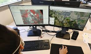
The newly released map represents one of the most comprehensive agricultural datasets ever created. Using advanced satellite imagery, artificial intelligence, and geospatial analysis, researchers have identified and mapped millions of agricultural fields worldwide. The project aims to provide a clearer understanding of how agricultural land is distributed and managed across different regions.
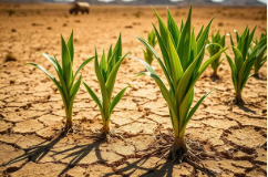
Experts say the dataset has the potential to significantly improve crop monitoring efforts. By accurately identifying field boundaries, governments, researchers, and agricultural organizations can better track crop growth, assess production trends, and detect changes in land use. Such information is becoming increasingly important as climate change, population growth, and resource constraints place greater pressure on global food systems.
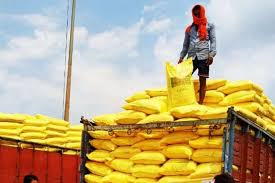
One of the key benefits of the new map is its ability to strengthen food security analysis. Accurate information about agricultural land can help policymakers estimate crop production more effectively and identify regions that may be vulnerable to food shortages. Early detection of production risks can support faster decision-making and improve preparedness for potential food crises.
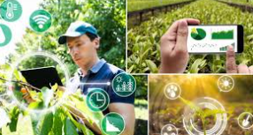
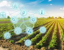
The dataset is also expected to accelerate progress in precision agriculture. Farmers and agricultural technology companies can use detailed field boundary information to optimize farm management practices, improve resource efficiency, and enhance productivity. Precision agriculture technologies rely heavily on accurate spatial data to guide decisions related to irrigation, fertilizer application, pest management, and crop health monitoring.
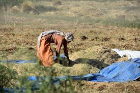
Researchers involved in the project noted that previous global agricultural datasets often lacked the resolution necessary to capture field-level details, particularly in regions dominated by smallholder farming systems. The new map addresses this challenge by providing a much more detailed view of agricultural landscapes, including areas where farms are small and fragmented.
Environmental scientists are expected to benefit as well. The dataset can help improve studies on land-use change, biodiversity conservation, water management, and greenhouse gas emissions. Understanding the location and size of agricultural fields can support efforts to balance food production with environmental sustainability goals.
The release of the map comes at a time when governments and international organizations are increasingly relying on digital technologies to improve agricultural planning and climate resilience. Satellite-based monitoring systems have become essential tools for tracking droughts, floods, crop performance, and other factors affecting food production.
Agricultural economists believe the dataset could also enhance global market analysis by providing more accurate estimates of cultivated land and crop production potential. Better information can improve forecasting models and support more informed policy decisions.
As global demand for food continues to rise, researchers view the new agricultural field boundary map as a significant step forward in understanding and managing the world’s farming systems. By providing unprecedented detail on agricultural landscapes, the dataset is expected to support innovation, strengthen food security efforts, and advance sustainable agricultural development for years to come.
 By
By