The U.S. Department of Agriculture (USDA) is testing a technology-driven approach to improve the way crop acreage and yield estimates are produced in the United States. The initiative combines satellite imagery, geospatial technology, artificial intelligence (AI), crop models and farmer surveys in an effort to generate more accurate and timely agricultural data.
Reliable crop estimates play an important role in the U.S. agricultural economy. Farmers, grain traders, food processors, policymakers and commodity markets depend on production forecasts to make decisions about planting, marketing, purchasing and supply management. Even relatively small changes in expected crop output can influence prices and trading activity.
Combining Technology With Farmer Information
The USDA’s proposed approach is designed to bring together multiple sources of information rather than depending on a single data collection method.
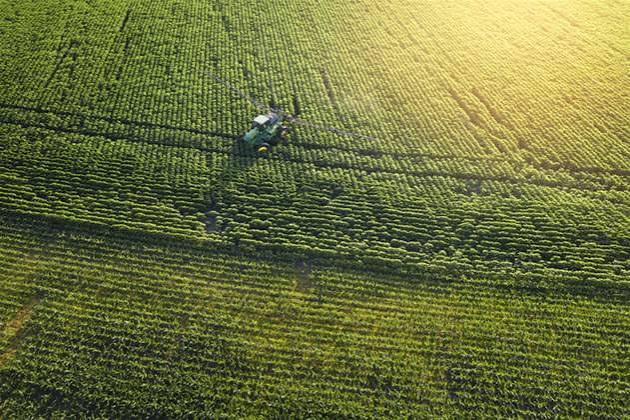
Satellite technology can provide detailed observations of farmland over large geographic areas. By analysing changes in vegetation, crop conditions and field characteristics, satellite-based systems can help identify where crops are planted and assess their development during the growing season.
Geospatial tools can add another layer of information by connecting crop observations with specific locations and agricultural areas. AI and advanced crop models can then process large amounts of data to identify patterns and generate estimates of acreage and potential yields.
Farmer surveys remain an important part of the system. Producers have direct knowledge of what has been planted on their farms and how weather, pests, disease, irrigation and other factors have affected crop performance. Combining this information with technology could provide a broader picture of conditions across the country.
Responding to Questions About Accuracy
The initiative comes amid criticism from some U.S. farmers regarding the accuracy of official crop estimates. Agricultural producers can have a different view of field conditions from what national estimates indicate, particularly when weather conditions vary significantly between regions.
A more diversified data system could help address some of these concerns by comparing information from multiple independent sources. Satellite observations, statistical surveys and crop models may complement one another and help identify discrepancies that could otherwise be missed.
However, integrating different data sources also presents technical challenges. Satellite imagery can be affected by cloud cover and other limitations, while AI-based models depend heavily on the quality and availability of the data used to train them. Ensuring consistent methodology will therefore be important if the technology is eventually incorporated into official estimates.
Potential Benefits for Agriculture
More accurate crop estimates could benefit the entire agricultural supply chain. Farmers could gain better information for marketing decisions, while traders and processors could improve supply planning. Policymakers could also use improved production data when assessing food security, agricultural markets and potential supply risks.
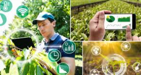
The move reflects a broader transformation taking place across agriculture, where AI, remote sensing, satellite imagery and data analytics are increasingly being used to support farm decision-making.
If the USDA’s testing proves successful, the combination of traditional farmer surveys with advanced digital technologies could become an important model for modern agricultural statistics. It could ultimately provide a more comprehensive understanding of U.S. crop production while improving confidence in the data used by farmers and agricultural markets.

 By
By